Never Forget Where Your Photos Were Taken
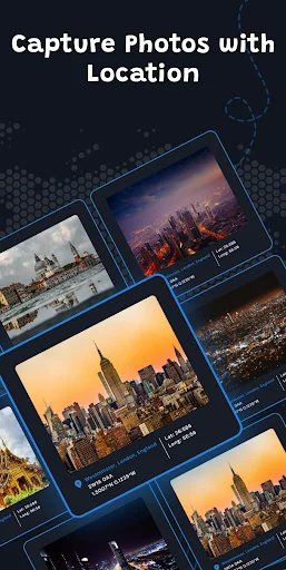
GPS Map Camera automatically adds location, date, and time to every photo and video you capture. Perfect for travel memories, field work, and any moment you want to remember exactly where and when it happened.
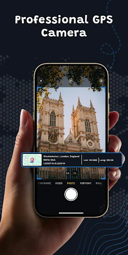
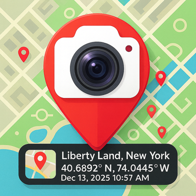
Every photo and video is instantly tagged with GPS coordinates, date, and time. No extra steps needed – just point, shoot, and your location is saved forever on the image itself.
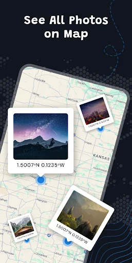
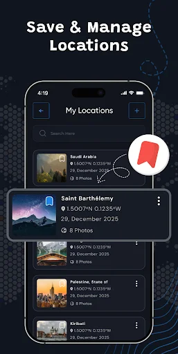
Your gallery shows every photo as a pin on the map. Relive your travels, track work sites, or find any location you visited. Your memories become a visual journey you can explore anytime.
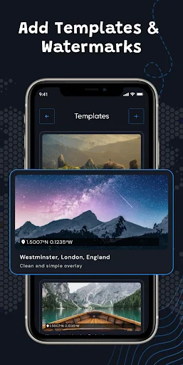
Choose from custom stamp templates to display coordinates, addresses, and timestamps. Perfect for field inspections, real estate, construction projects, and any work that requires proof of location and time.
Capture geo-tagged photos worldwide without internet access. Once GPS detects your location, you can take pictures anywhere – even in remote areas with no signal.
GPS Map Camera is a professional and easy-to-use camera app that automatically adds GPS location tags and timestamps to your photos and videos. Each capture includes accurate latitude, longitude, date, and time information, making your images more meaningful and reliable for travel memories and field documentation.
This app helps you record where and when your photos were taken. Whether you are exploring new places, working on field projects, or organizing travel photos, GPS Map Camera makes it effortless.
Photos and videos are automatically tagged with precise latitude and longitude along with the current date and time. Every capture becomes a clear record of your location.
Choose from built-in stamp templates that display your GPS coordinates, timestamp, address, and other useful details. Select the tag layout that fits your needs.
Record videos with embedded GPS location data and time information. Your video files will include the exact place and moment of recording.
View your photos on a map inside the app. Each image is shown as a pin on the map so you can easily track locations and revisit places visually.
The camera interface is clean and easy to navigate. Adjust essential options like flash, focus, timer, or zoom, and start capturing geo-tagged photos instantly.
Location tags are added using your device's GPS sensor. Once your location is detected, photos can be taken even without internet access.
Works globally with accurate GPS data. Useful for travelers, field workers, photographers, real estate agents, construction teams, and anyone who needs proof of place and time.
GPS Map Camera helps you stay organized by adding essential details to every photo. No more guessing where a picture was taken. Your gallery becomes a timeline of locations, events, and memories.
GPS Map Cam: Photo Location provides GPS stamps, timestamps, and geotagging based on your device's location and sensor data. Accuracy may vary depending on device performance, signal quality, and network conditions. Your photos and videos remain on your device, and we do not collect or store them. You are responsible for how you use and share the media created with this app. The app should not be relied on as certified or legally verified evidence.
Best for manrega attendance, hajeri ke liye